
1653-1715.
In 1680 was given special endorsement from the Dutch state to print and publish sea charts and sailing instructions. The van Keulen family's best-known work is Nieuwe Groote Ligtende Zee-Fakkel a world atlas in five volumes, published by Johannes's son Gerard and subsequently by Gerard's children and grandchildren.
As we have noted in other biographies in this chapter, the Dutch produced a remarkable number of enterprising and prolific map and chart makers but not even the Blaeu and Jansson establishments could rival the vigour of the van Keulen family whose business was founded in 1680 and continued under their name until 1823 and in other names until 1885 when it was finally wound up and the stock dispersed at auction. Throughout the history of the family, the widows of several of the van Keulens played a major part, after their husbands' deaths, in maintaining the continuity of the business.
The firm was founded by Johannes van Keulen who was registered as a bookseller in Amsterdam in 1678. In 16...
Sveriges sjökartor – A. Hedin.
Se NICOLAUS GERMANUS.
1607-74.
An engraver and publisher active in Antwerp who produced a small number of maps including one of the British Isles based on an earlier map by N. Visscher.

Vägvisare för XI Olympiaden i Berlin - 1936
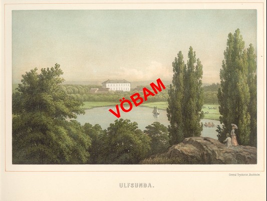
Ulfsunda - Nay 1881.
