
PTOLEMAIOS, CLAUDIUS (Ptolemaeus / Ptolemy).
Ca. 150 e. Kr.
Den äldre tidens mest berömda astronom, geograf och matematiker. Hans astronomiska teorier var ledande under 14 ċrhundraden, och hans främsta verk, 'Syntaxis' eller 'Almagest', avlöstes inte förrän Newtons banbrytande forskning. Hans 'Geographia' dominerade hela den kristna och muhammedanska världen under 1500 ċr. Det var Ptolemaeus som införde begreppen längd- och breddgrader, det system som geografin sedan dess följt i alla tider. Efter uppfinningen av boktryckerikonsten kom hans främsta geografiska verk helt eller delvis ut i en rad utgċvor, som oftast kompletterades med senare forskningsresultat och nyare kartritningar. Till ċr 1700 hade 45 utgċvor pċ mċnga olika sprċk utgivits. Sedan dess har ytterligare 7 utgċvor tillkommit, den senaste ċr 1883.
The 1482 edition of the Cosmographia, printed in Ulm, is one of the finest and most ambitious productions of the fifteenth century and the first printed atlas to include a corpus of modern maps as revised and supplemented by the important renaissance c...
Bland arbeten.
World. Untitled map of the world. Ulm: Leinhart Holle, 1482 or later. Prepared by Donnus Nicolas Germanus and cut by Johannes Schnitzer.
This world map is from the first edition of Ptolemy to be printed north of the Alps, and the first to use woodcut maps. It is the earliest surviving printed map signed by its engraver, and the first in the Ptolemaic sequence to include Scandinavia and to allude to lands beyond the confines of Ptolemys world view.
Salmonsen.- Tooley.
Doppelmayr, an acclaimed astronomer, was born in Nuremberg in 1671. He was a member of the Royal Society of London and the Academies of Berlin, Vienna and St. Petersburg.
It is not surprising that Dopplemayr collaborated with Germanys leading map publisher Johann Baptist Homann on both the terrestrial and celestial maps included in this atlas. He visited astronomers in many countries and hence in addition to the star charts and selenographic map, the atlas includes diagrams illustrating the planetary system of Copernicus, Tycho, and Riccilio; the ecliptic theories of Kepler, Bouliaeu, Seth Ward and Mercator; the lunar theories of Tycho, Horrocks and Newton, and Halleys cometary theory (DSB IV, p. 166).
Bland arbeten.
Atlas novus Coelestis. Nuremberg: Homanns Heirs, 1742.
First edition, folio (560 x 390mm), engraved allegorical additional titles (plain), title printed in red and black with engraved vignette, engraved index listing 30 subjects and 30 double-page engraved celestial charts and diagrams, some incorporating miniature world maps or spandrel illustrations of astronomical observatories, in contemporary hand colour and wash.
Sotheby's
Doctor Medicine & Mathematics, cartographer,
Bland arbeten.
Bentheim Blaeu 1635, 1649 & 1662;
Bentheim, Hondius 1633.
Tooley.
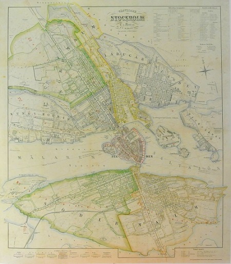
Stockholm - Mentzer ca 1860.
Rönn - Olof Rudbeck.
