
1684-1755. Född i Colditz, Sachsen, död i Göttingen.
Tysk historiker. Frĺn 1703 studerade han teologi, sprĺk och historia i Wittenberg. 1710 blev han professor i logik och 1714 i historia vid universitetet i Altdorf. 1735 blev han tillsatt som professor i historia vid det nyupprättade universitetet i Göttingen. Förutom flera historiska verk gav han bl.a. ut 'Bequemer Schulund Reisen-Atlas' (1719) och en 'Atlas manualis' (ca. 1724).
Bland arbeten.
Bequemer Schulund Reisen-Atlas.
Atlas manualis.
Allg. d. Biogr. - Ph.
Katalansk kartograf som emigrerade till Sicilien (1583). Utgav ĺtminstone en atlas.
RdeT.
Död 1696.
Engelsk förläggare och kartograf. 1668 etablerade han sig som förläggare. 1680 pĺbörjade han utgivningen av ett stort atlasverk, 'English Atlas' efter mönster av de holländska kartverken, först och främst Janssonius (se denne), vars arvingar han arbetat tillsammans med. Pitt blev emellertid ruinerad efter att de 4 första banden utkommit och verket blev aldrig slutfört. Pitt själv blev satt i häkte under en tid och skrev sedan en uppseendeväckande bok om förhĺllandena där, 'The Cry of the Oppressed' (1691).
Bland arbeten.
English Atlas.
'The Cry of the Oppressed.
Dict. nat. biogr.

Vägvisare för XI Olympiaden i Berlin - 1936
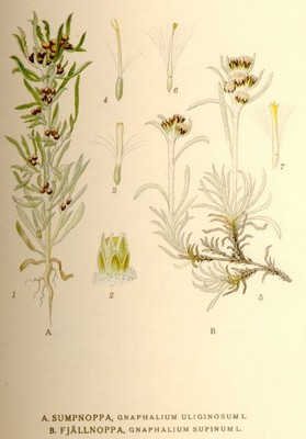
Fjällnoppa, Gnaphalium Supinum L - Lindman, C. A. M, Bilder ur Nordens Flora 1917-26.
