
28 juni 1618-2 februari 1682.
Jean le Pautre (June 28, 1618 – February 2, 1682) was a French designer and engraver. Le Pautre was an apprentice to a carpenter and builder. In addition to learning mechanical and constructive work, he developed considerable skill with the pencil. His designs, innumerable in quantity and exuberant in content, consisted mainly of ceilings, friezes, chimney-pieces, doorways and mural decorations. He also devised fire-dogs, sideboards, cabinets, console tables, mirrors and other pieces of furniture.
Jean Le Pautre, Sight of the Basin of Latone in the Gardens of Versailles, 1678
Le Pautre was long employed at the Gobelins manufactory. His work is often very flamboyant and elaborate. He frequently used amorini and swags, arabesques and cartouches in his work. His chimney-pieces, in contrast, were often simple and elegant. His engraved plates, nearly 1,500 in number, are almost entirely original and include a portrait of himself. He made many designs for Andre Charles Boulle.
He became a member of...
Bland arbeten.
Karl X Gustafs historia.
Cartographer, lawyer and mathematician.
Bland arbeten.
Limburg 1603 for Mercator-Hondius, also used by Keere 1616, 1617, 1622.
Använd ocksĺ av Blaeu.
Tooley
Död 1767.
Engelsk kartograf. Han började sin verksamhet som kartritare omkring 1720, utgav 1744-47 'Complete System of Geography' med 70 kartor, 1752 'Complete Atlas, or Distinct View of the Known World', 1758 'Atlas Minimus' och 1767 'Large English Atlas'. Han utförde även kartor för olika historiska verk och reseskildringar, och var kartgravör bĺde för Kung George II av England och Ludvig XV av Frankrike.
Bland arbeten.
Complete System of Geography.
Complete Atlas, or Distinct View of the Known World.
Atlas Minimus.
Large English Atlas.
Dict. nat. biogr. [Ths.B.] - Phillips. - Tooley.
Amiral Häggs flaggkarta. - Stockholm 1888.
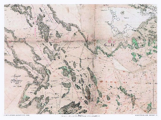
Ingaröfjärden - U. Thersner 1805.
