
1750-1826.
Officer and gunnery chief in the galler fleet. Served as lieutenant in the amphibious corps' Swedish and Finnish squadrons. Was aboard the frigate Svarta örn in a 1781 convoy expedition to the Mediterranean. Member of learned societies at home and abroad.
Sveriges sjökartor – A. Hedin.
SCULTETUS [SCULTETO, v. SCHILLE, SCHULTZ], BARTHOLOMEUS.
1540-1614.
Cartographer of Görlitz.
Bland arbeten.
Meissen & Lausitz 1568. Used by Ortelius 1573, Blaeu &c.
Ober & Nieder Lausitz, de Jode 1578.
Tooley
Född 1787 7/1 pĺ Ojamo i Lojo sn (Nyland), död 1830 19/5 i Stock (Finska förs.).
Överstelöjtnant. Kartograf. Landskapsmĺlare och etsare. Son av löjtnanten Axel Maximilian C. och Barbro Elisabeth Toll. Deltog som fältmätningsofficer i finska kriget 1808-09. Tjänstgjorde 1819-24 som adjutant hos riksstĺthĺllaren i Norge J. A. Sandels och företog under denna tid talrika resor. Chef för graveringskontoret vid Ingenjörskĺren 1826.
Bland arbeten.
Karta över belägenheten omkring Stockholm 1817.
G. M. CARPELAN, Vues norvégiennes, I-II, Sthlm 1826-27: 8 utsikter, akvatinter.
Karta över Djurgĺrden. 1829.
D. K. W. BAUMGARTEN-CRUSIUS, Schweiz’s historia, Strängnäs 1833: titelblad, akvatint.
Hultmark, 1944.
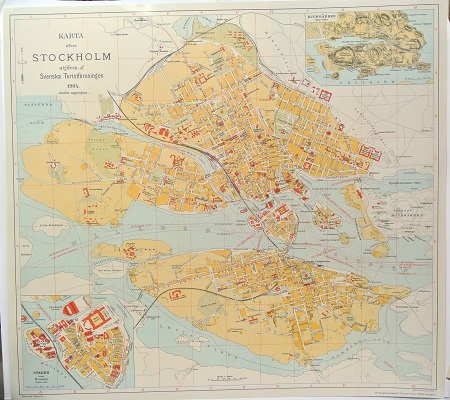
Karta öfver Stockholm. - 1904.
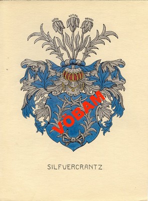
Silfvercrantz - C. H. Tersmeden ca 1900.
