VÖBAM - Din källa till den äldre bild- och kartvärlden. - Tel: 08-102121 - Epost: info@vobam.se

Biografier.
1774-1836.
Appointed engineer at the Survey Office in 1801, but was not eligible for salary until a permanent position became vacant. In 1809 was commissioned lieutenant at the marine measurement corps and made supervisor at the Sea Charts Office. Known for his skill and great modesty.
Sveriges sjökartor – A. Hedin.
STELLA [STOLZ, STOLTZ, SIGENIS], TIELEMANO.
1527-1589, d. Wittenberg.
His maps used by Ortelius, de Jode, Hondius, Blaeu.
Bland arbeten.
Totius Germaniae 1546.
Maps for Bible 1552-7.
Jerusalem 1557.
Revised Münster's Germany 1560.
Tooley.
Död 1787.
Kartgravör. Arbetade i Köpenhamn vid 'Vetenskapens Sällskap'. Se även Angelo, Theodor Gottfried Nicolai.

Vägvisare för XI Olympiaden i Berlin - 1936
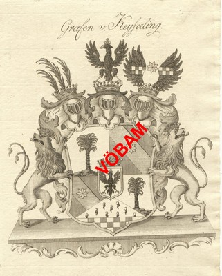
Grafen von Keyserling - Tyskland ca 1800.
VÖBAM - Din källa till den äldre bild- och kartvärlden. - Tel: 08-102121 - Epost: info@vobam.se
