
Bokhandlare och kartutgivare. Omnämnd 1658 och 1664. Gav bl.a. ut atlaser med kartor av Nicolas Sanson d.ä. (se denne).
1735-1824. Född och död i Bergen.
Norsk ämbetsman. Han var en tid prokurator i Telemark, vistades sedan från 1783 under några år i Köpenhamn, och var 1786-1804 lagman på Färöarna. 1807 blev han utnämnd till borgmästare i Bergen. 1785 gav han i Köpenhamn ut 'Forsög til en Beskrivelse over Övre-Tellemarken', ett verk som blev belönat med 'Det danske Landhuusholdnings-Selskabs' guldmedalj.
Bland arbeten.
Forsög til en Beskrivelse over Övre-Tellemarken.
Halvorsen.
1726-86
Fransk kartograf, son till ROBERT DE VAUGONDY, GILLES. Han verkar ha gått i sin fars fotspår som kunglig geograf och hade dessutom titeln 'censeur royal'. Förutom nyutgåvor av faderns olika atlaser gav han 1785 ut 'Atlas de la France et de l'Europe'. Robert de Vaugondys atlas blev senare reviderad och utgiven på nytt av C. F. Delamarche.
Bland arbeten.
Atlas de la France et de l'Europe.
Nouv. biogr. gen. - Phillips.
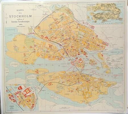
Karta öfver Stockholm. - 1904.
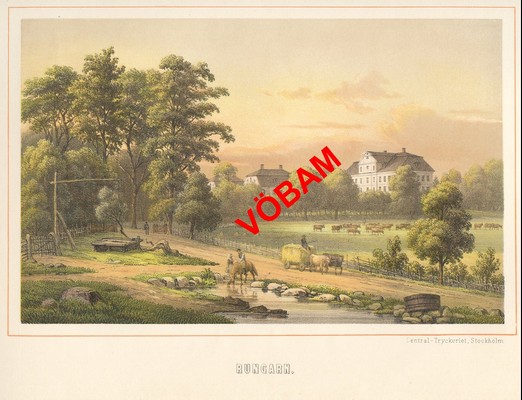
Rungarn - Nay 1881.
